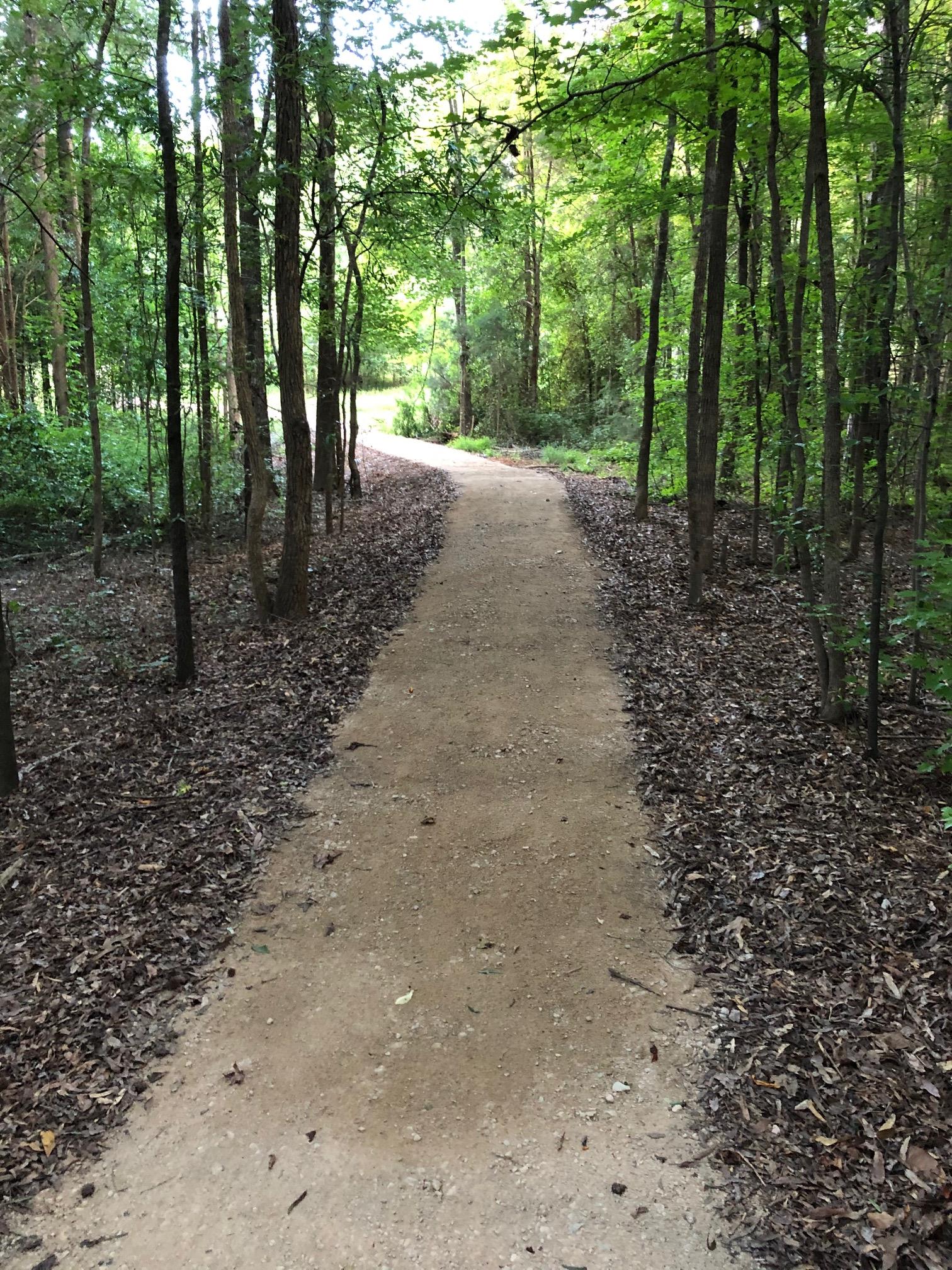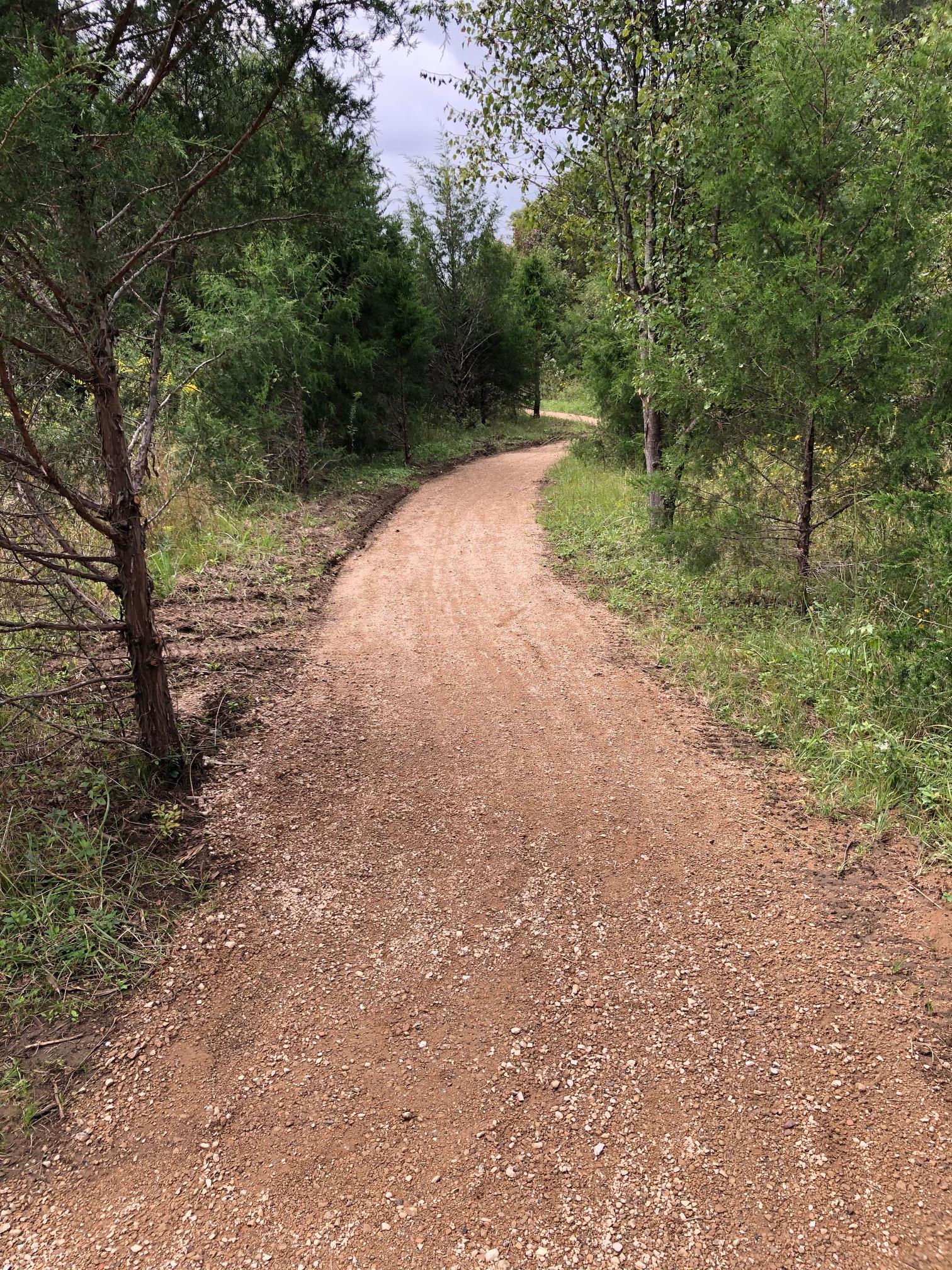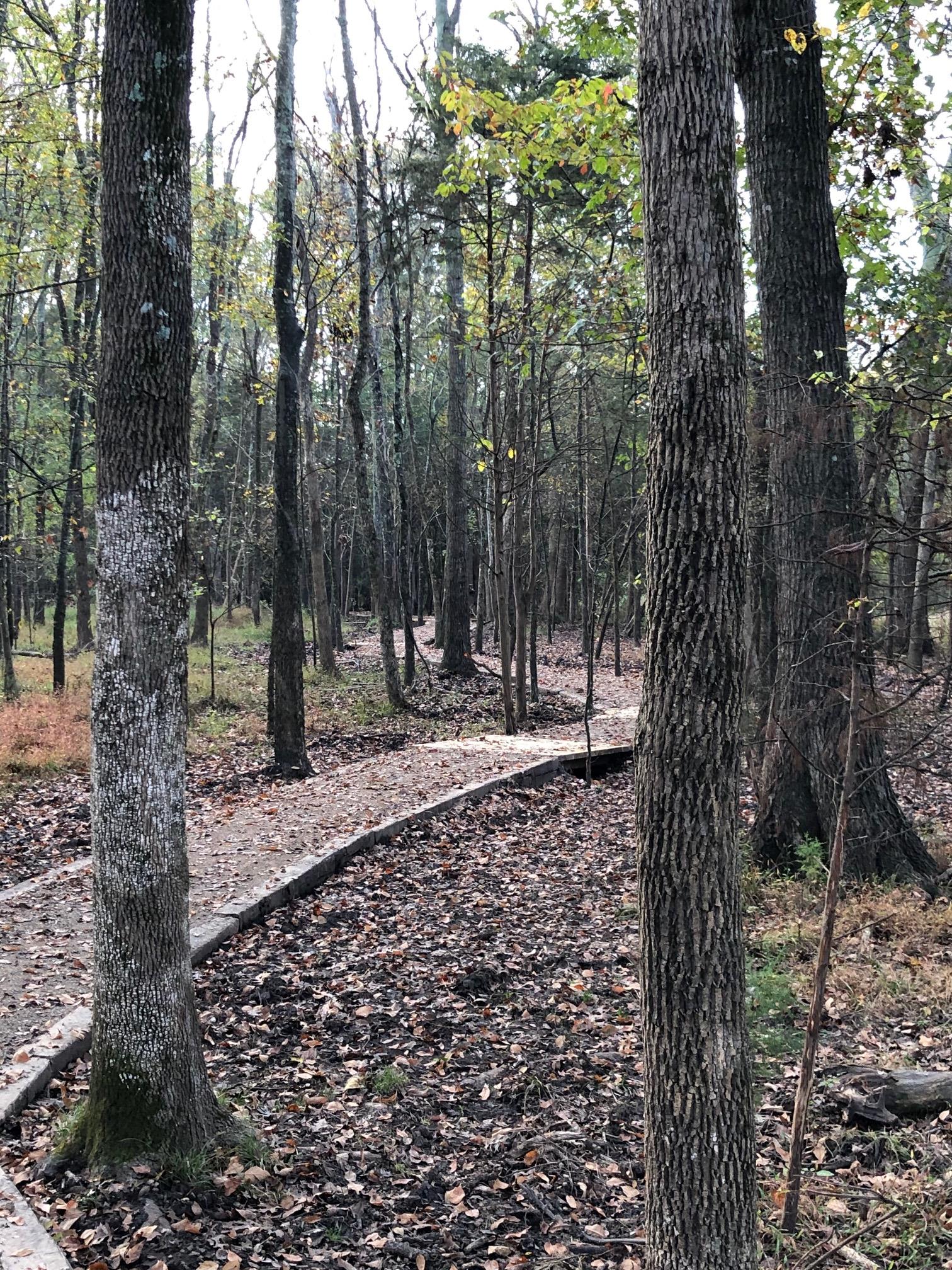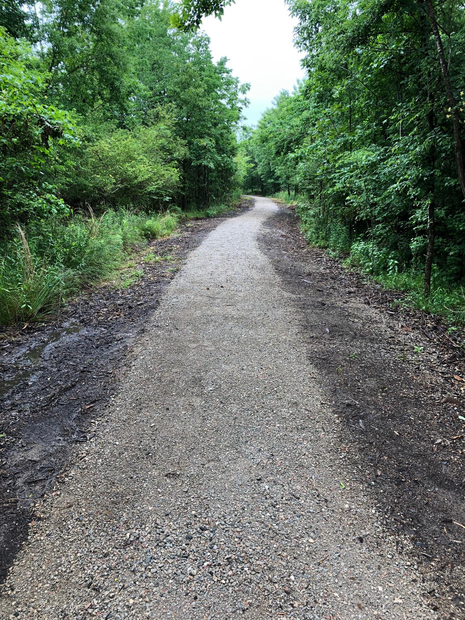
 In addition to the Marvin Loop, the Village's asphalt greenway, the Village of Marvin contains miles of natural surface walking trails.
Please note that per Village Ordinance, motorized vehicles are prohibited on Village trails and greenways.
Trails with public parking access include:
- Town Hall Trail and the Preserve Internal Trail. Public Parking for these trails include Village Hall parking lot.
- Marvin Efird Park Trail. Parking at Marvin Efird Park.
- Publix Pocket Park Trail. Parking at the parking lot adjacent to Publix (New Town/ Providence Road)
Other Trails in the Village include:
- Amber Meadows Trail. There is no public parking for this trail. Access is only via sidewalks.
- Tullamore Trail. There is no public parking for this trail. Access is only via sidewalks.
The Village of Marvin's longest natural surface trail is the Preserve Internal Trail, which can be accessed from Village Hall on the far end of the parking lot, taking the trail towards Golden Bell Drive and then turning right just before reaching Golden Bell Drive. The Preserve Internal Trail ends at White Dogwood Lane.


Parks & Greenways Master Plan
Trailheads & Parking
Please see below for the interactive trail map for more details on walking trails and parking.
- Marvin Village Hall (10006 Marvin School Road) - Parking Available
- Access to Preserve Trail, Marvin Loop
- Marvin Efird Park (8909 New Town Road) - Parking Available
- Access to Marvin Efird Park Trail
Please note that per Village Ordinance, motorized vehicles are prohibited on Village trails and greenways.